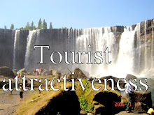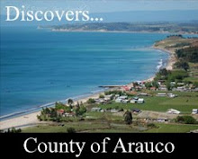
This commune limits to the north with The Poplars; to the south with Tirúa; to the east with the Mountain range of the Costa and to the west with the Ocean Pacífico.Cuenta with a surface of 766 Km2 and with 32.300 inhabitants approximately, of which 36,6% corresponds rural population - it is characterized by a strong agricultural tradition and for its diverse tourist attractions as the Museum Mapuche, the Stone of the Eagle (it inserts in the National Park Nahuelbuta), the Lake Lanalhue and other lagoons where he/she will be able to carry out activities like observation of birds and aquatic sports.
City dedicated mainly to the agricultural, forest activity and of services whose historical value is significant; since it was scenario of arduous and inmemorables battles that immortalized as much to Spanish conquerors as to heroes of the ethnos mapuche. In their beginnings it constituted an area densely populated by community’s mapuches lafkenches and pehuenches.


